Log in
All resources
Create a design
52,119 Free Images of Old Celestial Maps
maps made in the 17th century
gerard valck
maps by pieter schenk (i)
atlantis magni tomus tertius (biblioteca comunale di trento)
fonds ancely - bibliothèque municipale de toulouse - maps
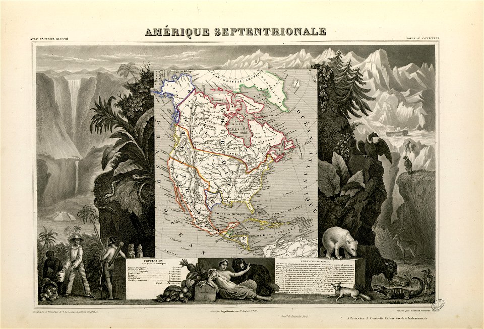
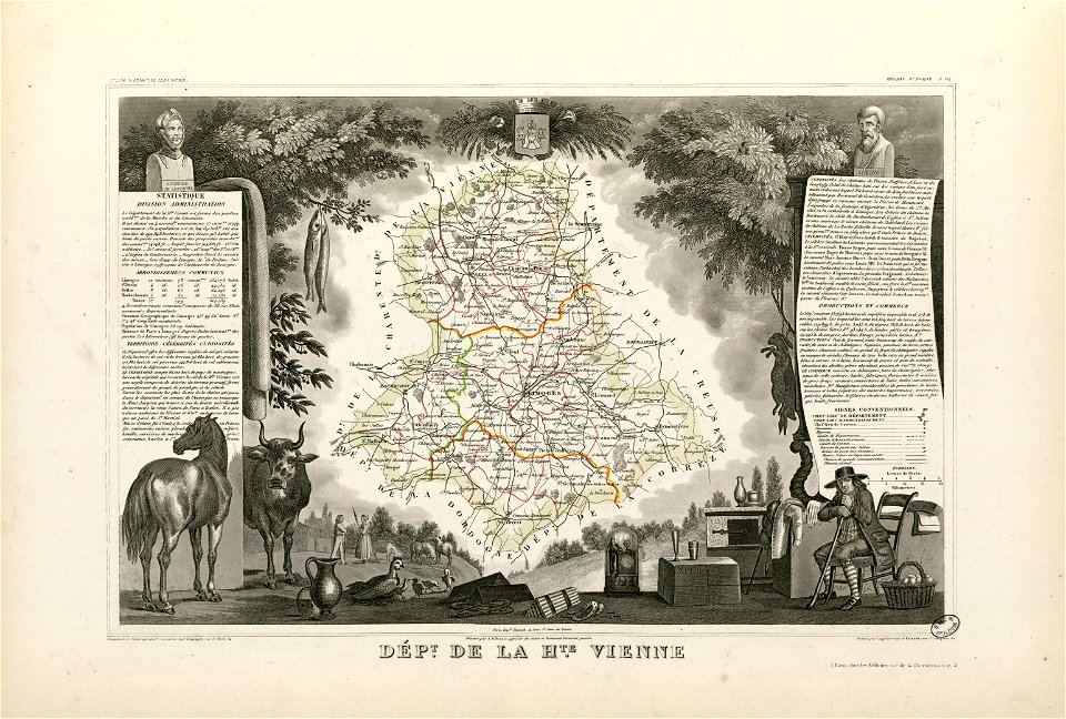
victor levasseur - maps of france
atlantis magni tomus secundus (biblioteca comunale di trento)
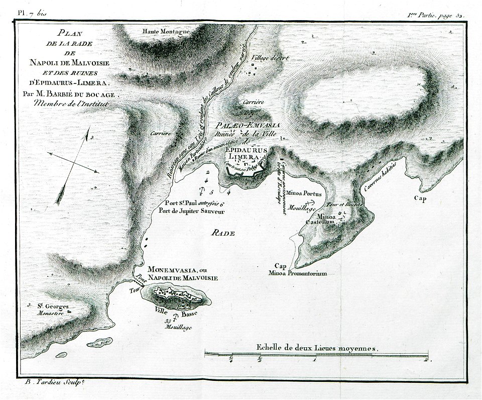
old maps of the peloponnese
frédéric-auguste laguillermie
atlas van der hagen
frédéric-auguste laguillermie
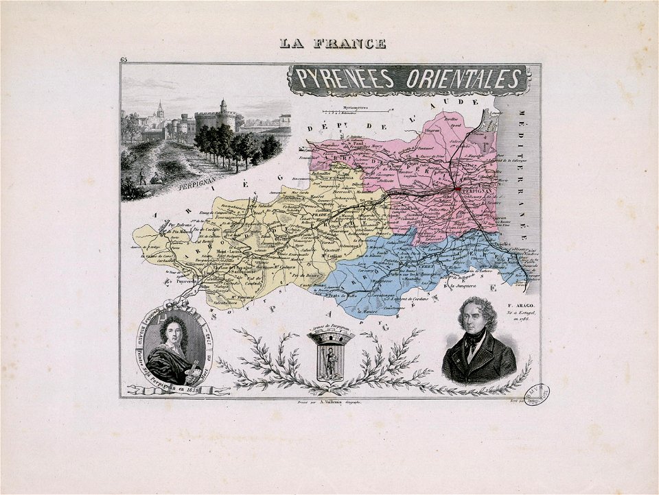
françois arago
maps made in the 17th century
gerard valck
maps made in the 17th century
gerard valck
history of perugia
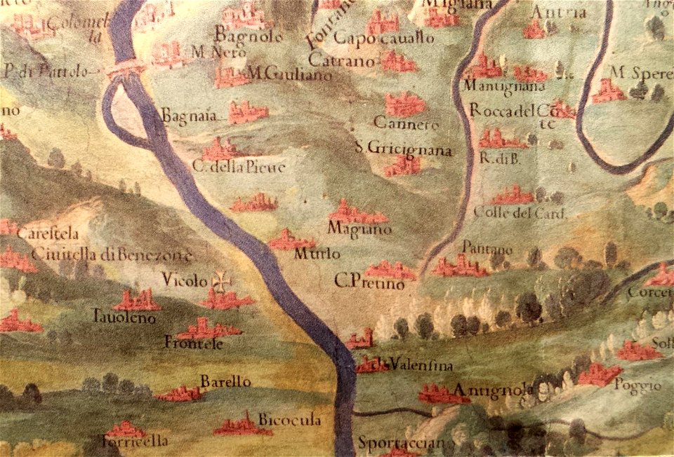
old maps of umbria
maps made in the 17th century
gerard valck
old maps of the dutch east india company - africa
1747)
maps by willem and johannes blaeu
maps made in the 17th century
maps made in the 17th century
gerard valck
maps with cartouches
netherlands
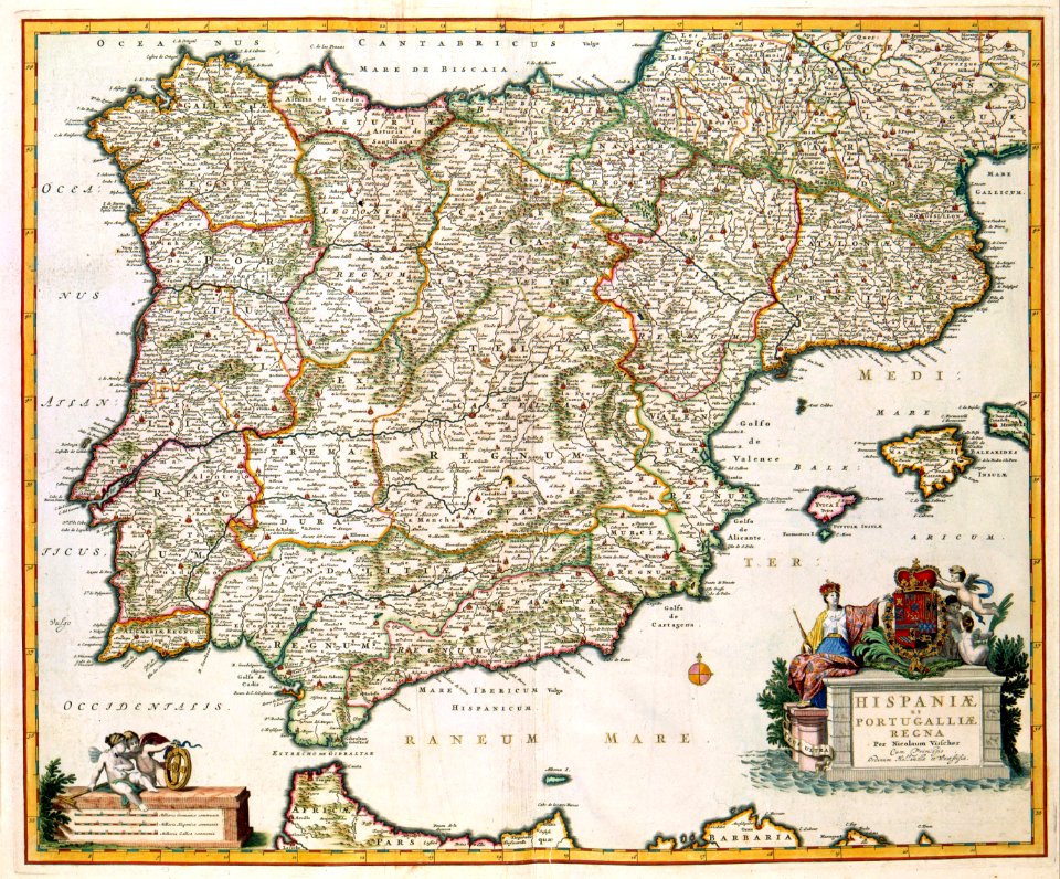
old maps of the iberian peninsula
nicolaes visscher ii
maps of the sea of marmara
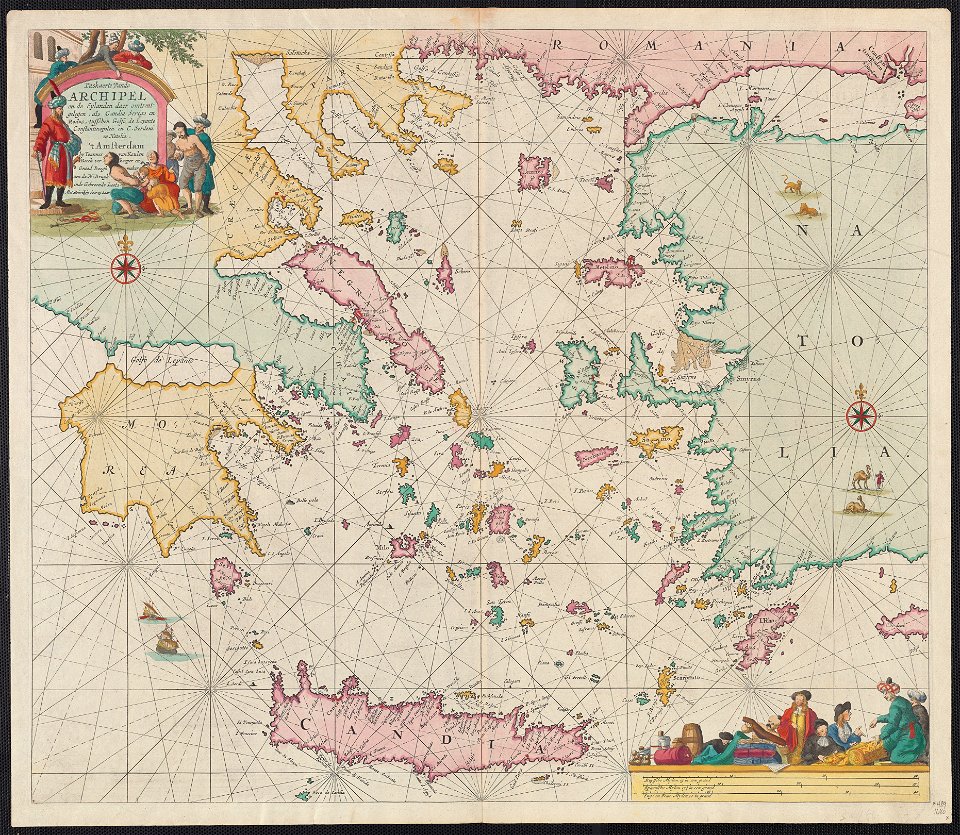
old maps of the aegean sea
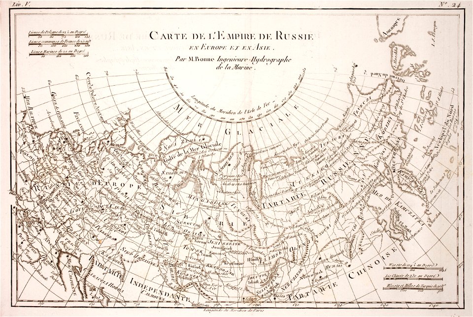
1780 maps of russia
bonne projection
maps made in the 17th century
gerard valck
maps made in the 17th century
gerard valck
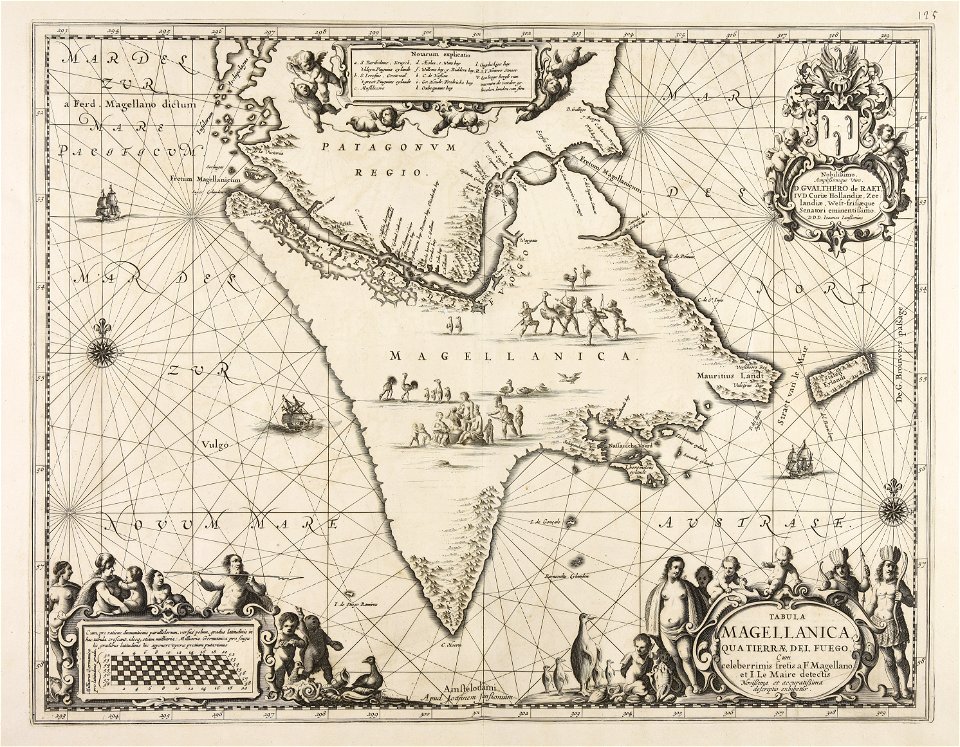
old maps of venezuela
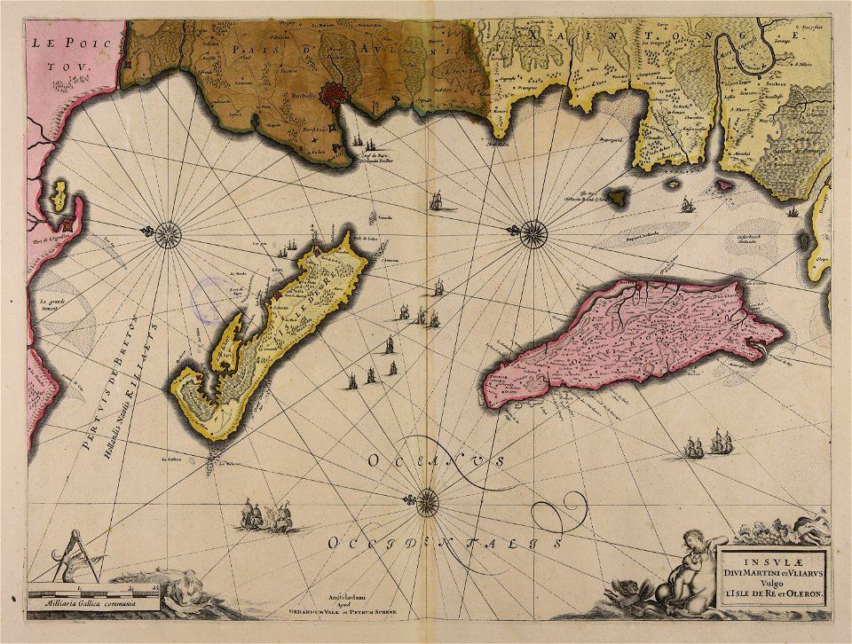
gerard valck
historical images of pyrenees
robert batty (artist)
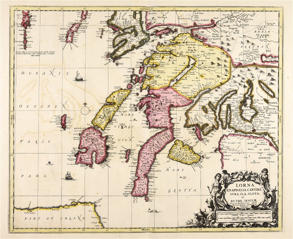
gerard valck
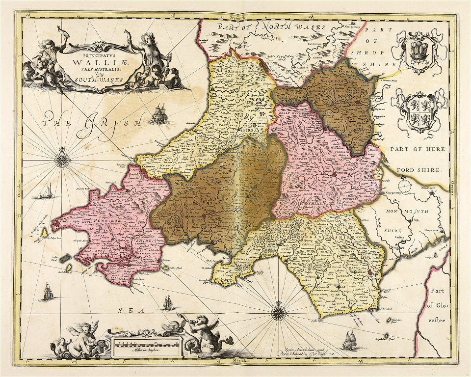
south wales
gerard valck
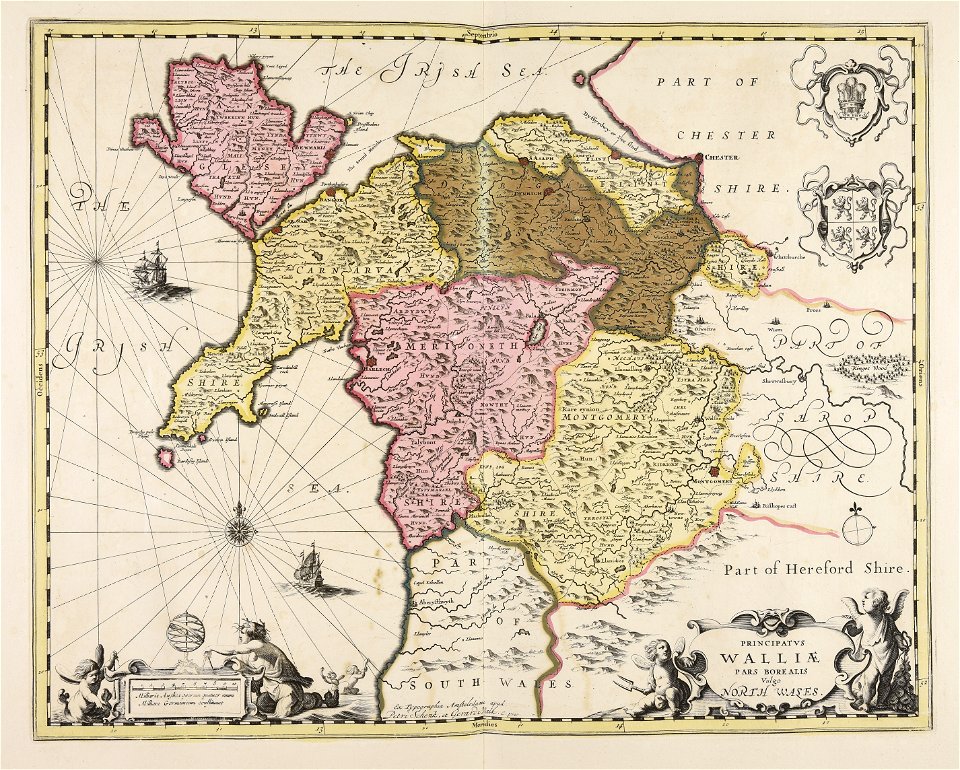
north wales
historical images of greece
1808 maps
maps by willem and johannes blaeu
maps made in the 17th century
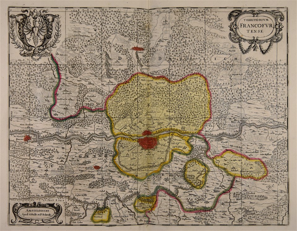
old maps of frankfurt am main
gerard valck
gerard valck
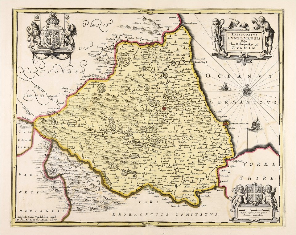
england
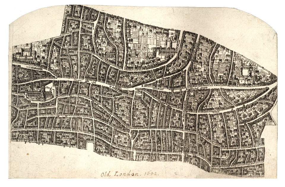
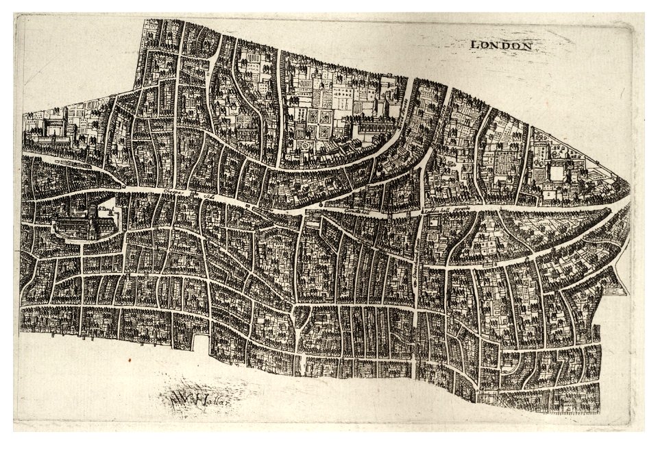
university of toronto wenceslas hollar digital collection
hollar maps and plans of london
university of toronto wenceslas hollar digital collection
hollar maps and plans of london
maps made in the 18th century
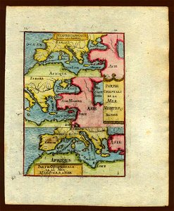
old maps of europe
gerard valck
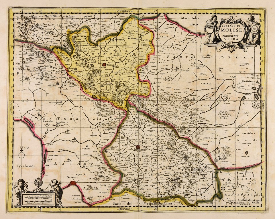
campania
maps made in the 17th century
gerard valck
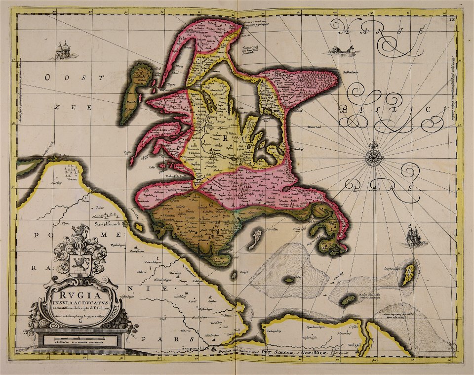
old maps of mecklenburg
gerard valck
historical images of the ionian islands
avlemonas
maps made in the 17th century
gerard valck
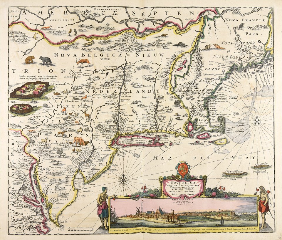
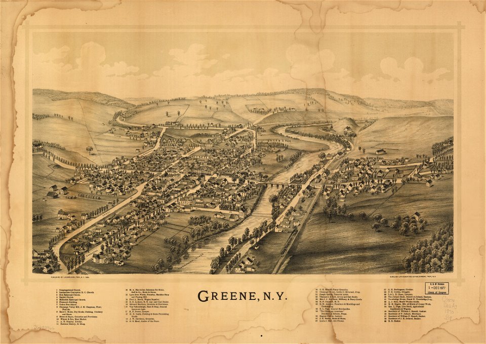
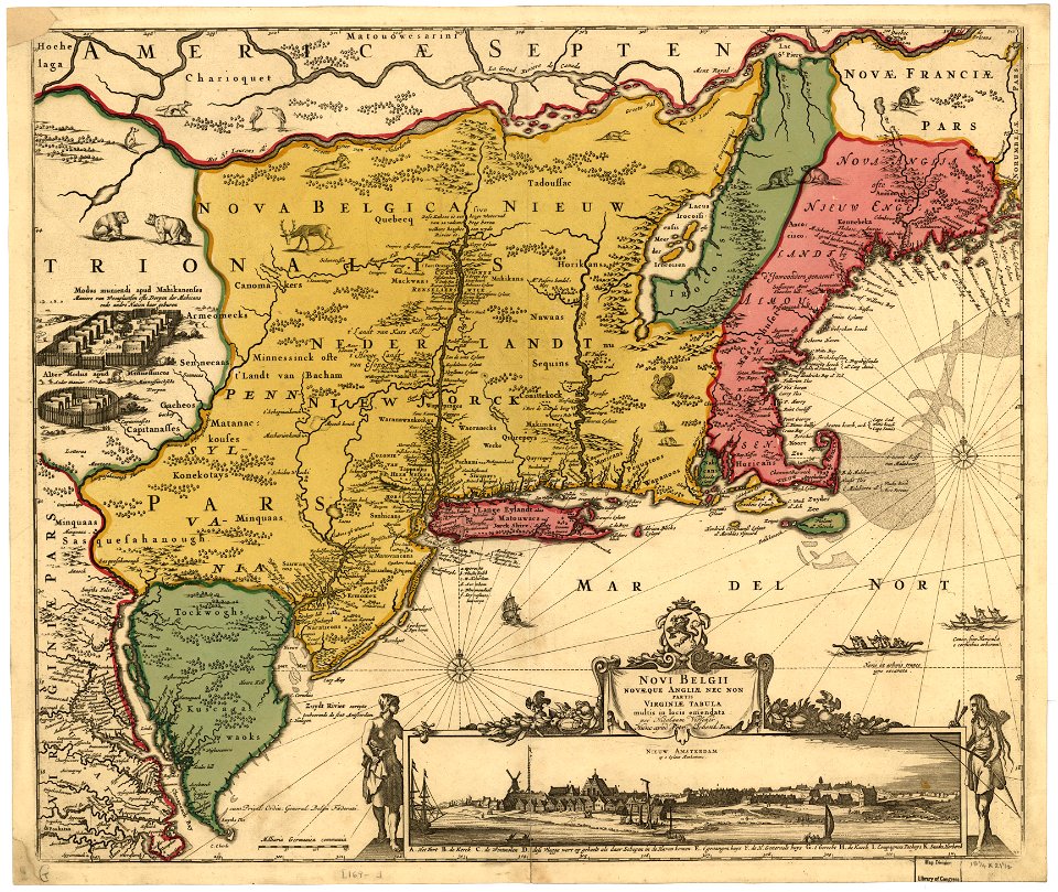
new york
green
copper engraving
beavers in art
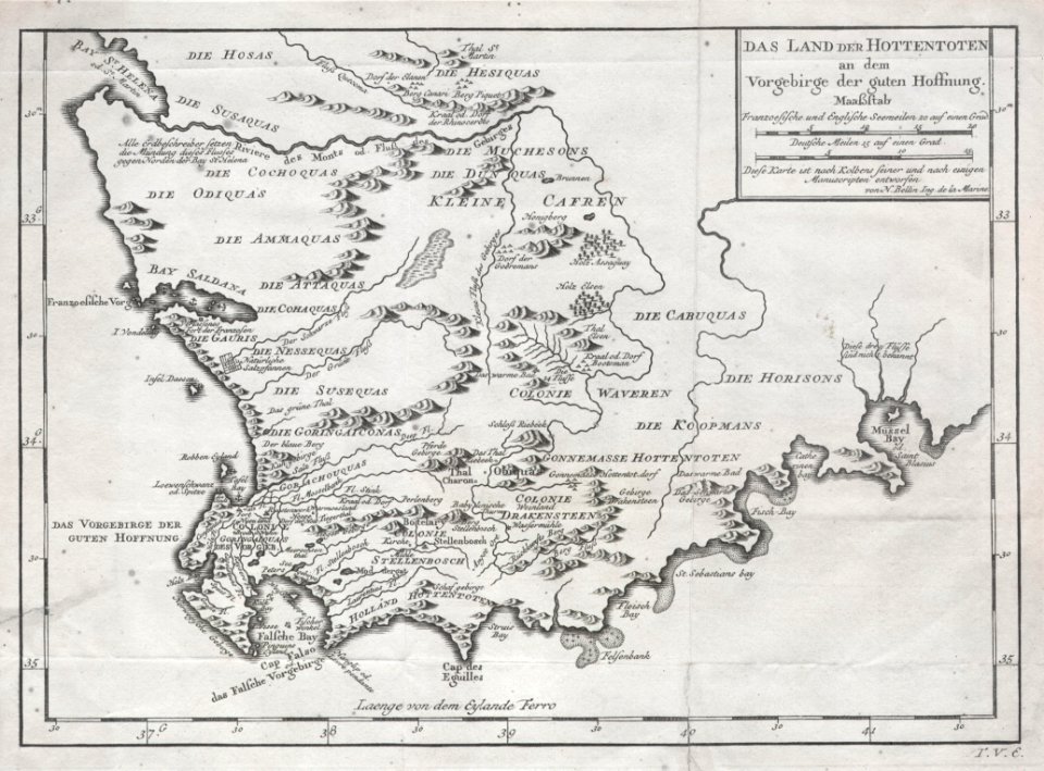
old maps of south africa
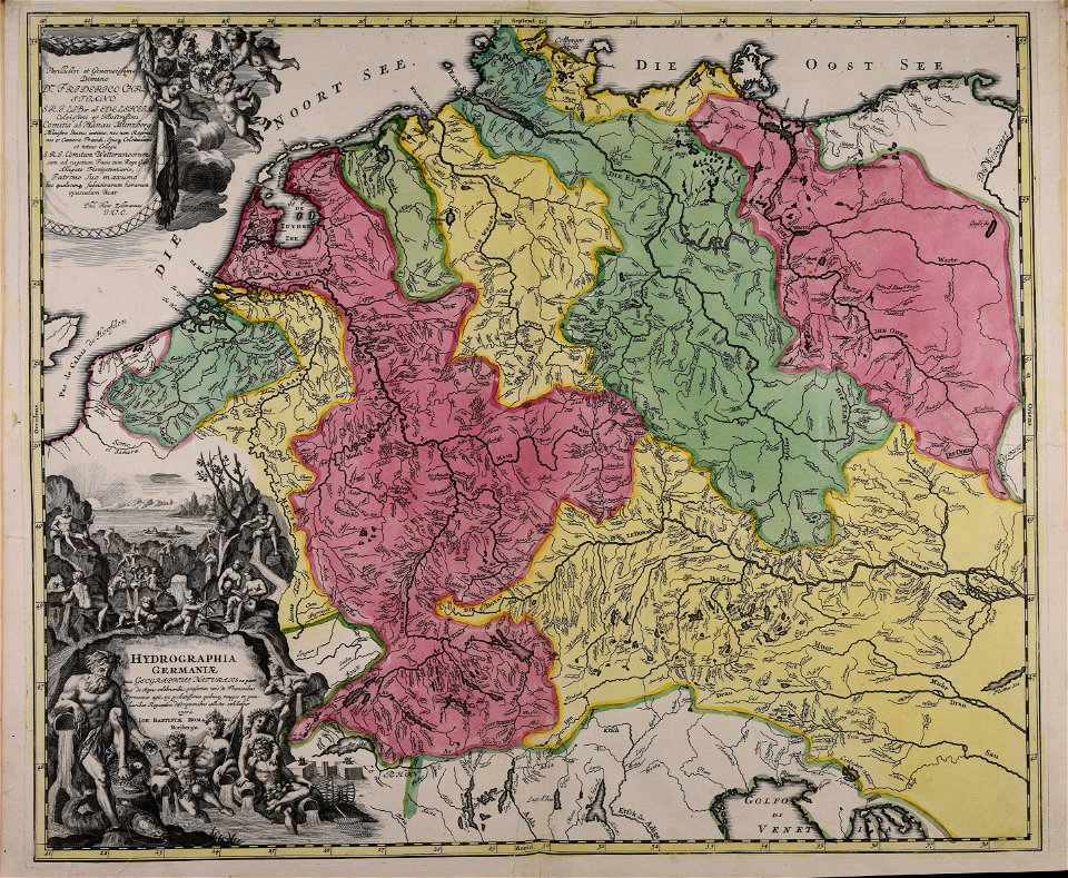
german-language maps
iroquois
ontario
maps made in the 16th century
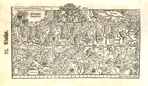
old maps of switzerland
celestial globe
putty
fur garments in art
celestial globe
collections de la bibliothèque nationale et universitaire de strasbourg
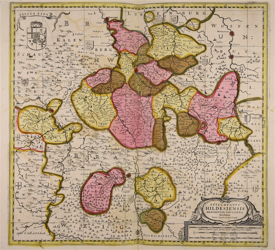
maps by matthäus seutter
old weather and climate maps
1872 maps
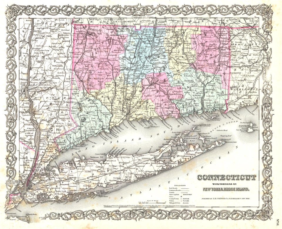
long island sound
block island
old map
pirate
description de l'universe
old map
friedrich bernhard werner
old map
old map
surat
historical images of arecaceae
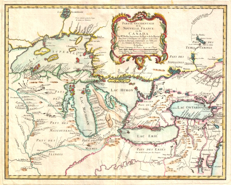
old maps of north america
maps with cartouches
atlas van der hagen
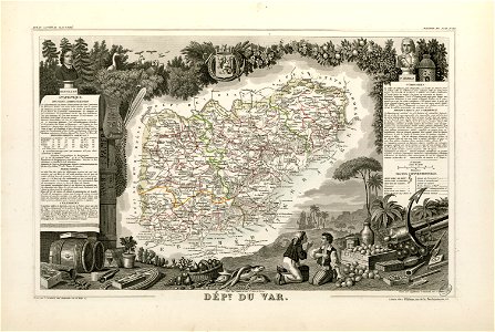
coats of arms of cities in var
old maps of var
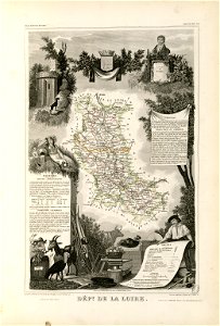
coats of arms of cities in loire
frédéric-auguste laguillermie
fonds ancely - bibliothèque municipale de toulouse - maps
victor levasseur - maps of france
coats of arms of auch
jean lannes
fonds ancely - bibliothèque municipale de toulouse - maps
frédéric-auguste laguillermie
maps made in the 17th century
gerard valck
église sainte-aurélie
strasbourg
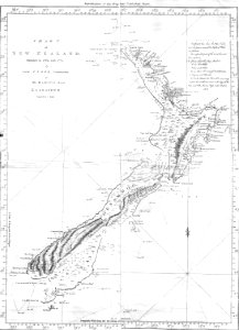
new zealand
geography
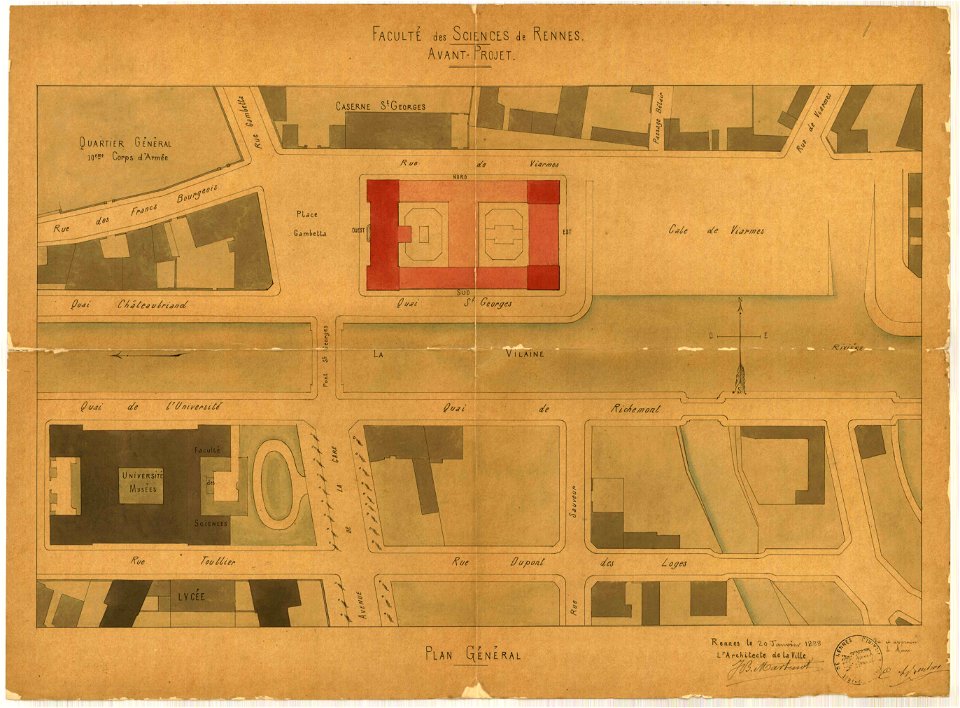
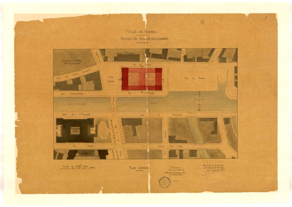
jean-baptiste martenot
1888 in bretagne
jean-baptiste martenot
1888 in bretagne
dutch 17th-century prints in the rijksmuseum amsterdam
petrus scriverius
old maps of the sea of azov
1856 maps
maps made in the 17th century
gerard valck
johann baptist homann
maps
1726
asie
maps by nicolaes visscher i
claes jansz. visscher (ii)
maps of colonial brazil
atlas miller
paintings in the musée des arts décoratifs
paintings by pierre-antoine baudouin
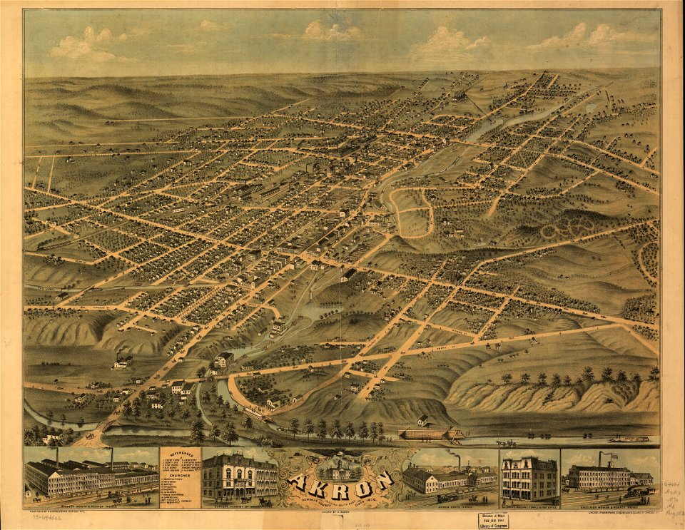
akron
ohio
1780 maps of finland
1780 maps of norway
collections de la bibliothèque nationale et universitaire de strasbourg
johann baptist homann
jean-baptiste martenot
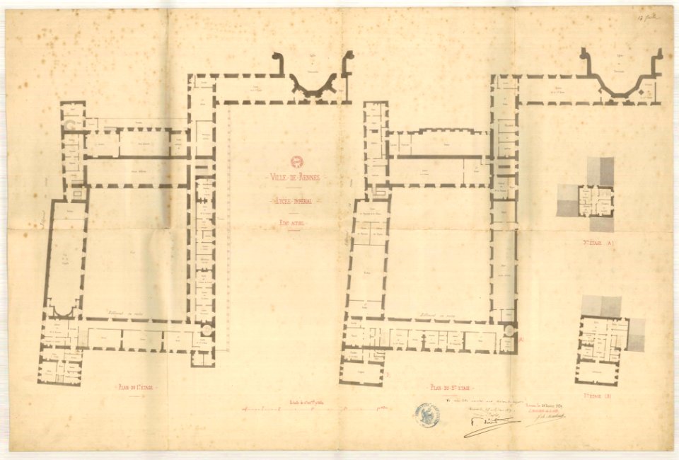
old maps of rennes
old maps of pomerania
rudens
amsterdam in the 1680s
maps with cartouches
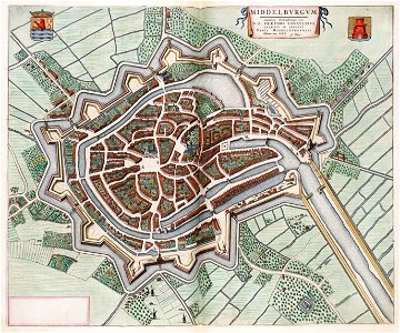
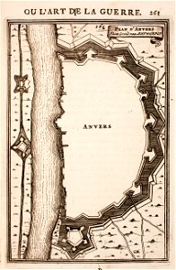
maps of antwerp city walls
old maps of antwerp
old maps of frankfurt am main
johann baptist homann
maps made in the 17th century
cornelis danckerts (i)
old maps of south holland
merwede
prints from manesson travaux de mars at the peace palace library
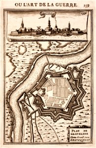
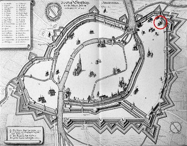
fortifications in france
maps made in the 18th century
gerard valck
hyacinthe rigaud
françois arago
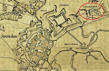
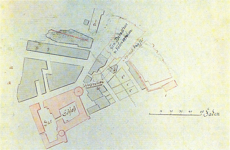
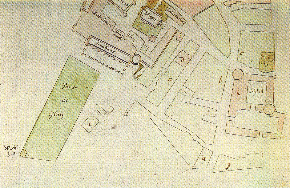
historical documents of the spandau citadel
festung spandau
1780 in south america
1780 maps
maps by willem and johannes blaeu
coats of arms of zeeland
prints from manesson travaux de mars at the peace palace library
fortifications in belgium
history of zürich
engraved maps
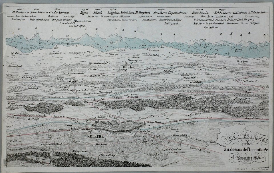
historical images of solothurn
eiger
maps made in the 17th century
jan janssonius
the hague stork in art
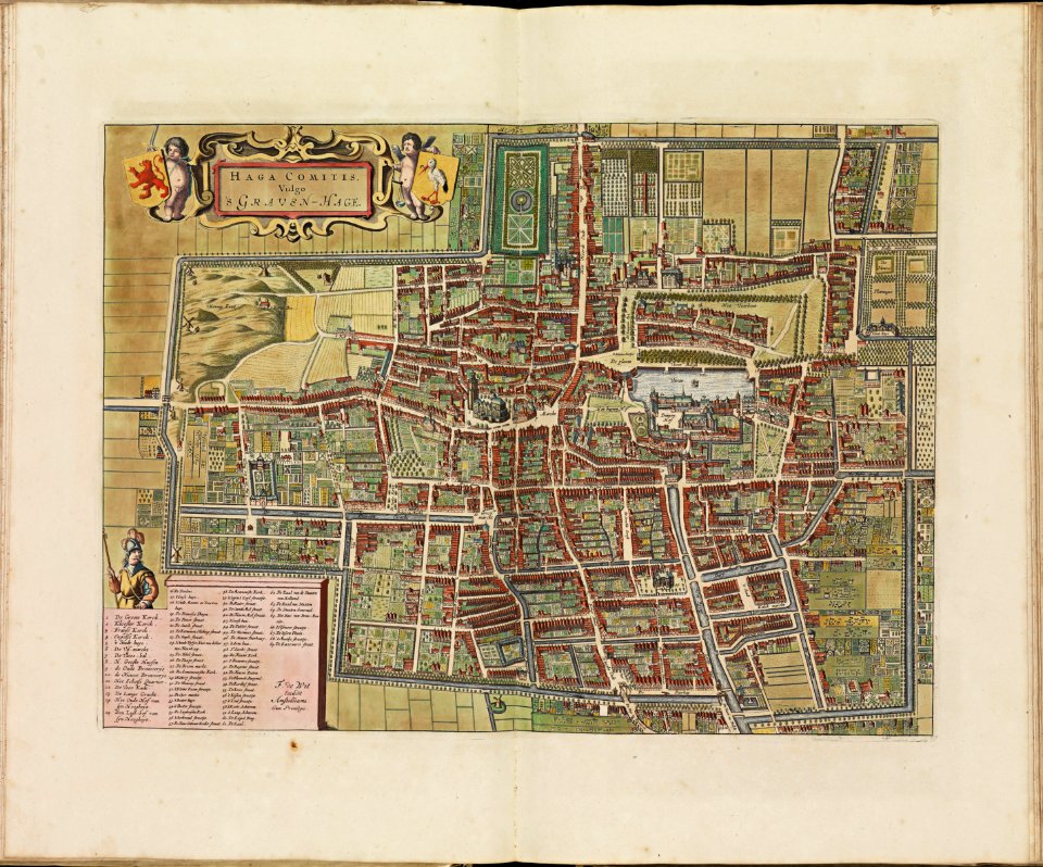
old maps of the hague
maps made in the 18th century
johann baptist homann
copper engraving
beavers in art
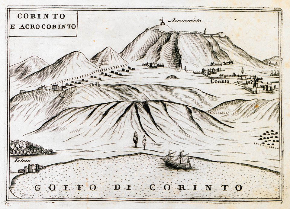
geographical illustrations by coronelli
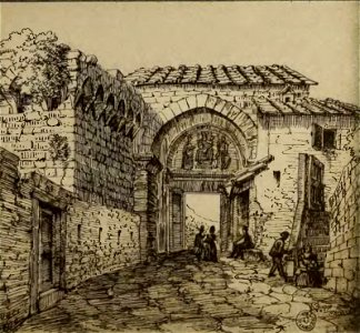
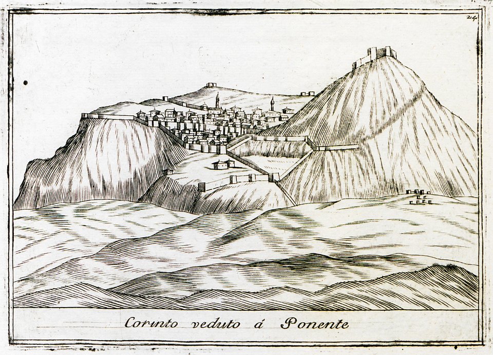
remote views of acrocorinth
monasticon gallicanum
puy-de-dôme in art
old maps of florence
florence in art
alpstein
säntis
images from bristol past and present (1882)
bristol
illustrations of cosmographia (münster)
old maps of the viceroyalty of peru
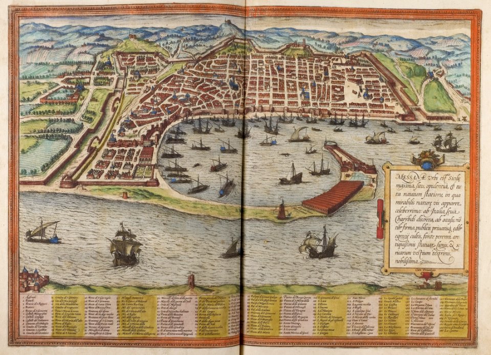
braun & hogenberg
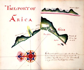
historic port
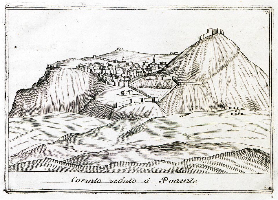
geographical illustrations by coronelli
remote views of acrocorinth
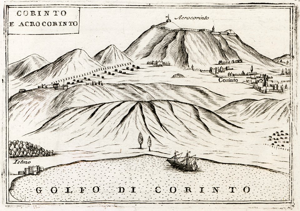
geographical illustrations by coronelli
remote views of acrocorinth
geographical illustrations by coronelli
remote views of acrocorinth
geographical illustrations by coronelli
remote views of acrocorinth
johann christoph brotze
old maps of riga
johann christoph brotze
old maps of riga
3901 - 4000 of 52,119
Next page
/ 522


![[Nautical Atlas of the World, called Miller Atlas]; 2-5. [Miller Atlas: sheets 2 to 5]. sheet 5, António de Holanda, 1519](https://cdn.creazilla.com/illustrations/10000850095/nautical-atlas-of-the-world-called-miller-atlas-2-5-miller-atlas-sheets-2-to-5-sheet-5-antnio-de-holanda-1519-sm.webp)